
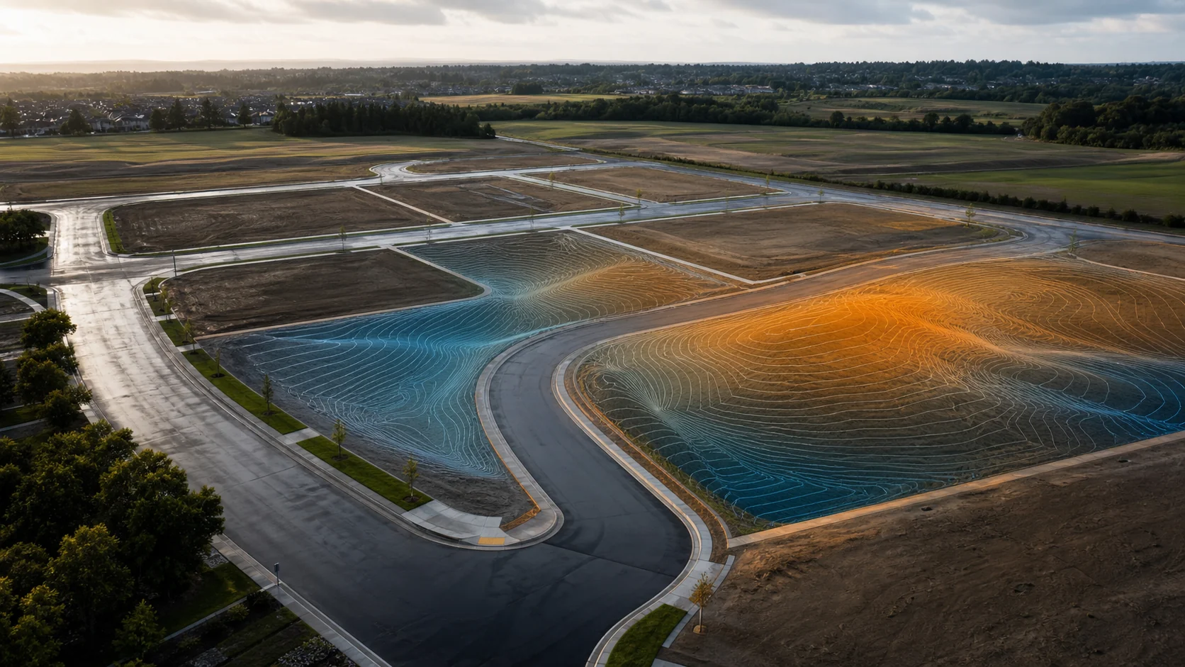
A nine-point lot inspection can confirm important conditions at selected locations. It does not necessarily document the continuous ground surface between those points – and that is often where drainage concerns become visible.
For residential developers and builders, the gap matters most during handoff. The developer wants a clear record showing the condition of the finished lots and common areas. The builder wants confidence that the land received matches the intended condition. Both parties benefit from documentation that captures more than isolated elevations.
What a nine-point inspection does well
A traditional spot-check approach can be appropriate for verifying specific elevations or other defined criteria. When those points are selected and evaluated by the appropriate licensed professional, they can answer focused questions efficiently.
The limitation is not the quality of the points. It is the space between them. A limited set of observations cannot, by itself, describe every contour, shallow depression, transition, swale, or localized change across the full lot surface.
Why between-lot conditions deserve attention
Water follows the connected surface, not an inspection checklist. A condition that appears acceptable at several selected locations may still include a subtle low area between lots, an interrupted drainage path, or a transition that affects how water moves after landscaping, fencing, and other improvements are installed.
Those conditions can become harder to understand after construction. Soil is disturbed, grades are modified, landscaping changes the surface, and the original handoff condition becomes a matter of memory. Without a broader record, teams may spend time reconstructing what existed instead of deciding what to do next.
A more complete handoff record
GeoForge’s LiDAR Final Documentation package is designed to create a more useful record at the point of handoff. Dense surface capture documents the lot and the areas between selected inspection points. Drone imagery provides an overhead visual reference, while RTK-enabled ground capture and three-dimensional modeling can add detail where critical infrastructure or localized conditions deserve closer documentation.
The result is an organized site record that can help teams:
- Review the connected ground surface across lots and common transitions.
- Preserve the condition of the property at a defined milestone.
- Compare later observations with the documented handoff condition.
- Identify areas that should be referred to a licensed surveyor, engineer, inspector, or other qualified professional.
- Reduce ambiguity when drainage questions arise after vertical construction begins.
This does not turn every surface variation into a defect. It gives the project team a broader factual record so that unusual conditions can be reviewed in context.
Useful to both sides of the handoff
For the developer, final documentation helps preserve evidence of the condition delivered. It supports a more orderly closeout and provides a reference when questions emerge later.
For the builder, the same record helps confirm what was received and highlights locations that may deserve professional verification before work advances. That shared baseline can improve conversations between field teams, ownership, contractors, builders, and design professionals.
The value is not simply more data. It is better timing. Documentation captured before conditions change is more useful than trying to reconstruct the original surface after a home is built and standing water is reported.
Documentation supports decisions – licensed professionals make licensed determinations
GeoForge provides documentation, organized visual records, and observations that can surface conditions deserving attention. GeoForge does not provide licensed surveying, engineering, code inspection, or other professional determinations.
When the record suggests a potential grading, drainage, elevation, design, compliance, or construction concern, the appropriate licensed professional should verify the condition, determine its significance, and recommend any action. The GeoForge record helps that professional begin with better context.
The practical question at handoff
A nine-point inspection may answer the nine questions it was designed to answer. The larger handoff question is whether the project team also needs a connected record of what lies between those points.
For communities where post-build drainage questions could lead to callbacks, warranty discussions, or uncertainty between parties, final surface documentation can provide a clearer starting point. It helps the developer show what was delivered, helps the builder understand what was received, and helps licensed professionals focus verification where it is most useful.
Talk with GeoForge about documenting a residential development handoff.
Professional verification
GeoForge provides documentation and observations to support better-informed decisions. Our work does not replace licensed surveying, engineering, inspection, or other professional services. When a condition requires a professional opinion, certification, design, or corrective action, the appropriate licensed professional should verify it.