Our platform makes it easy to:
- Compare the as-built terrain to the grading design plans
- Validate final lot elevations and swales
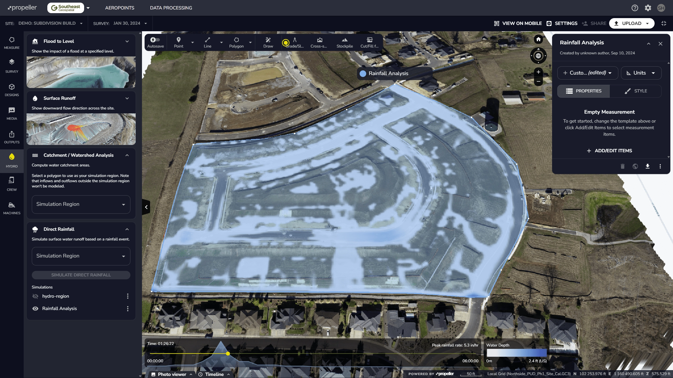
- Confirm drainage slopes and flow direction
- Detect unapproved grading changes or pad shifts
- Verify driveway, sidewalk, and utility as-built conditions
With every drone flight, we capture a high-resolution 3D model of your subdivision — including homes, roads, pads, and adjacent lots — allowing you to quantify exactly what was built and where.