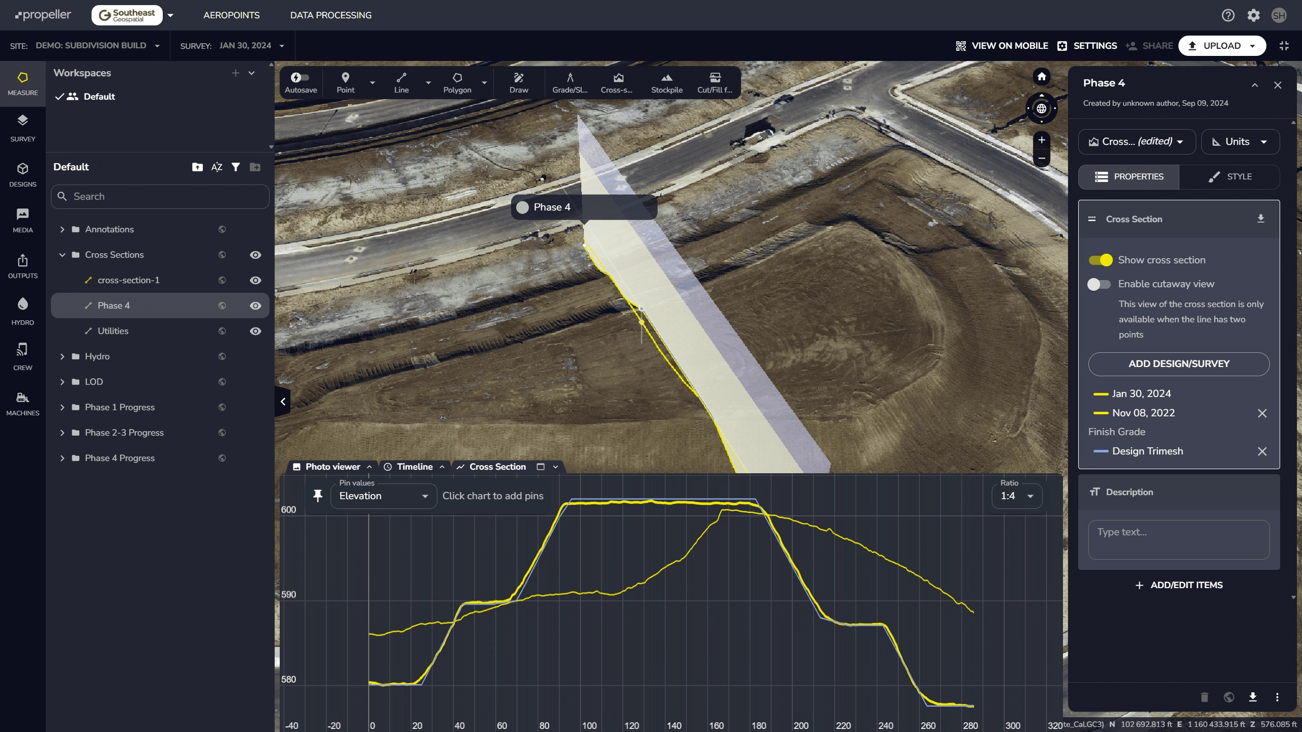
Traditional earthwork tracking relies on outdated surveys, time-consuming site walks, and assumptions that can lead to costly overruns. Our drone-based data, combined with the Propeller Aero platform, delivers accurate, up-to-date topography on a weekly or bi-weekly basis, giving your team the visibility it needs to keep projects moving on time and on budget.
Schedule a demo to see how our platform compares to the competition. We can fly our drone at your location, upload your designs, and show you what our platform can do for you in less than 24 hours. In one demo, we found a $18,000 error in the first 5 minutes – what will we see on your project site?
